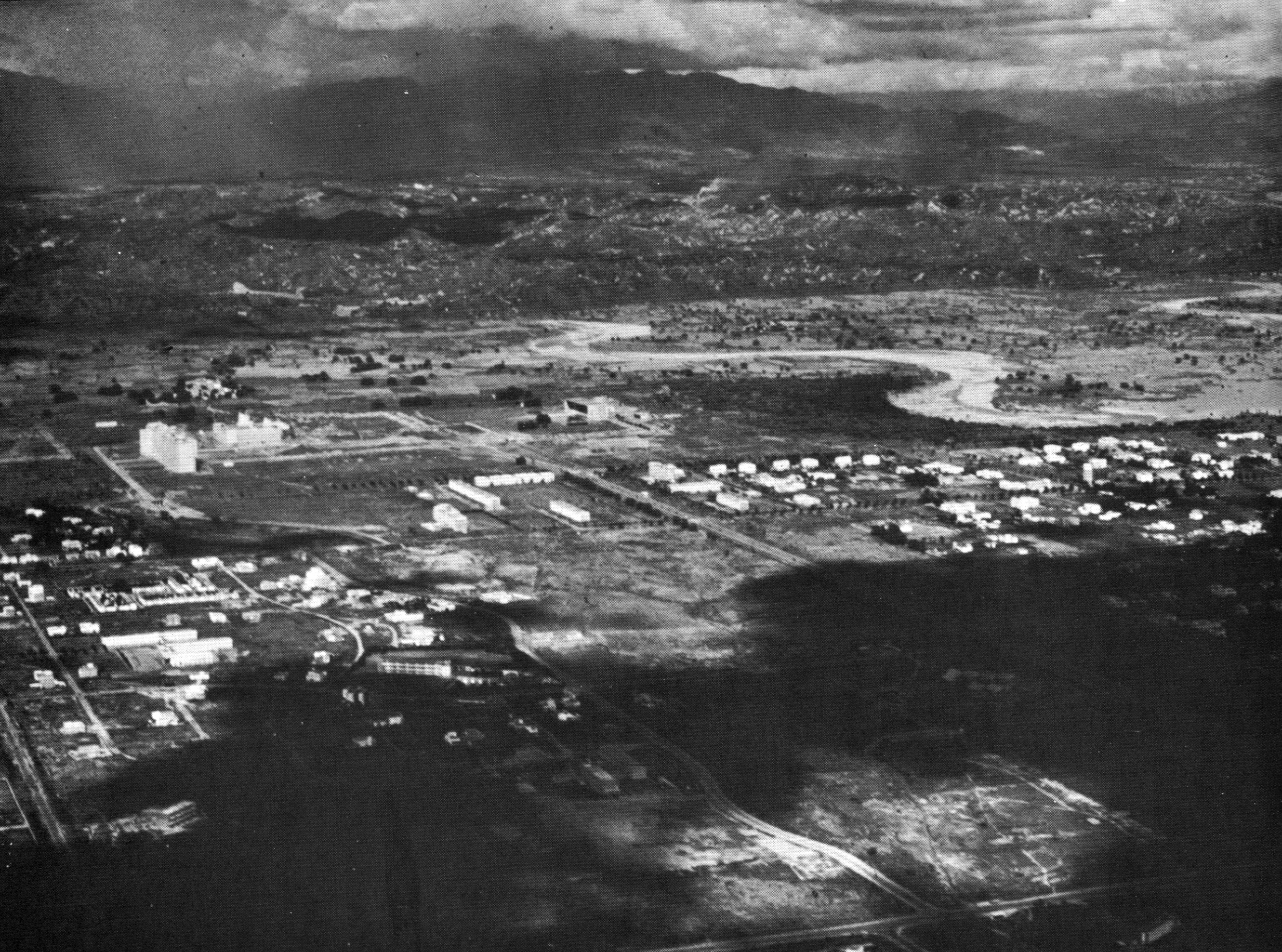
The Shivalik Hills and the Plan

By placing the original plan on the inclined plain, with the full range of the Shivalik Hills in high relief, we can see how the local intermittent rivers carry on their work of breaking down the Hills and converting them into the alluvial plain of Chandigarh. The water channels, slicing up the Hlls, are vivid in their relief.
We also see how Le Corbusier original plan, with its continuous green zones accurately intuits the site as an irrigated landscape. Mayer’s plan had proposed green belts in various directions as per the visions of the Garden City Movement. But Le Corbusier’s plan, that has these ‘green belts’ only in the direction of the slope of the plans. We learn how vitally important it is to ensure that the green valleys are continuous, and how they should be anchored by moving water channels.
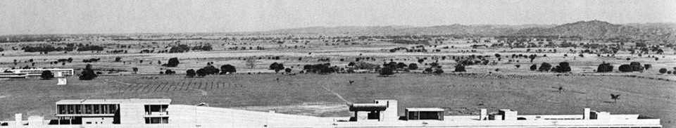
Compare image with the aerial image from the 1950s below.
Leave a comment